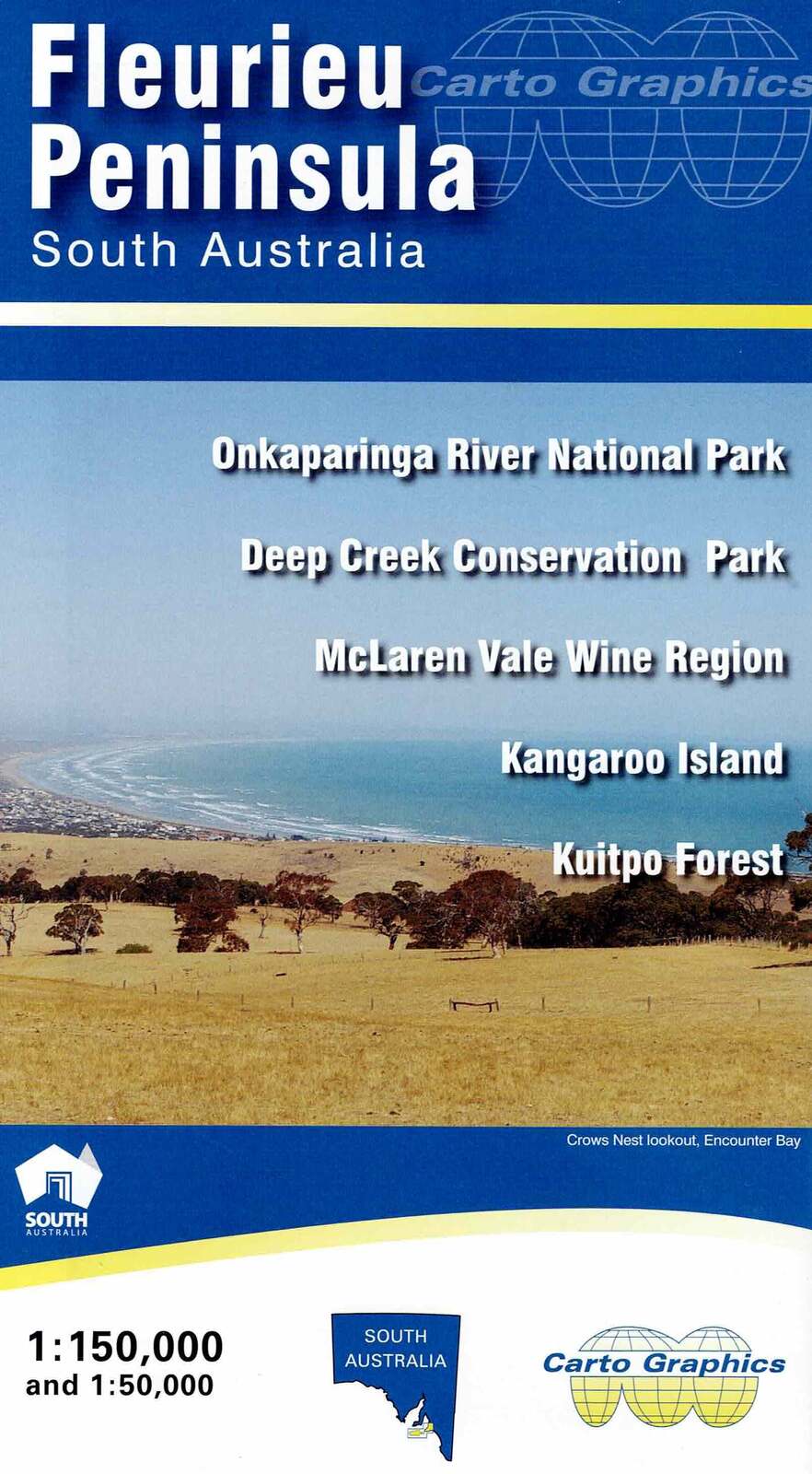

Fleurieu Peninsula Map
This map from Carto Graphics features a 1:150,000 scale map of the Fleurieu Peninsula displaying road distances, and common points of interest including visitor information centres, lookouts, lighthouses, boat ramps, and wind farms. Also shown are national parks, conservation parks and reserves, and Forest reserves as well as the Heysen Trail, Yurrebilla Trail, Kidman Trail and the Lavender Federation Trail.
The Fleurieu Peninsula Map is well suited to those seeking detailed information on the Onkaparinga River National Park, Deep Creek Conservation Park, McLaren Vale Wine Region, Kangaroo Island, and Kuitpo Forest.
Key Features
- Road distances
- Walking tracks
- National parks
- Camping areas
- Points of Interest
Key Specifications
Edition: 2nd
Publication Date: 01/01/20
Scale: 1:150,000
Folded size (WxHxD): 140mm x 250mm x 3mm
Weight: 0.08kgs
(9780645154498)
| SKU | 9780645154498 |
| Barcode # | 9780645154498 |
| Brand | Cartographics |