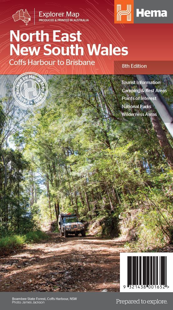


North East New South Wales Map
$14.95
In Stock
A regional map of North East New South Wales (1:375,000) that is the perfect companion for touring through North East New South Wales (NSW). The map features information on the major touring routes through the region including the Summerland Way, Bruxner Highway, Waterfall Way and Gwydir Highway, as well as major tourist attractions along both the Pacific Highway and the New England Highway. Also included are listed national parks within the region, contact information and events.
Key Features
- Top scenic drives
- Camping and rest areas
- Fully indexed
- Events and information
- Points of interest
- Waterproof paper
Key Specifications
Edition: 8th
Publication Date: 01/12/13
Scale: 1:375,000
Folded size (WxHxD): 140mm x 250mm x 3mm
Flat size (WxH): 700mm x 1000mm
Weight: 0.09kgs
(9321438001652)
| SKU | 9321438001652 |
| Barcode # | 9321438001652 |
| Brand | Hema Maps |