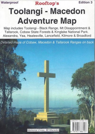

Toolangi - Macedon Adventure Map
Unleash your spirit of adventure with Rooftop Map's Toolangi - Macedon Activities Map. Covering a vast expanse from Alexandra, Narbethong, and Buxton in the east to Cobaw, Lancefield, Macedon, and Romsey in the west, this map is your gateway to a world of outdoor exploration.
Explore Cobaw State Forest, Tallarook State Forest, Mount Disappointment State Forest, Toolangi State Forest, Black Range, Kinglake National Park, and much more, all meticulously detailed with a 1:100,000 scale. On the reverse side, you'll find 1:50,000 scale enlargements for the 'Macedon Ranges Forest Activities Map,' 'Cobaw Ranges Forest Activities Map,' and 'Tallarook Forest Activities Map,' complete with contour lines.
Whether you're a 4WD enthusiast or walker, these maps cater to your needs. Rooftop maps are renowned for their precision, and this one is no exception. Waterproof paper ensures durability, even in wet conditions. All parks, reserves, state forests, roads, and tracks are plotted using GPS mapping technology.
Experience the outdoors with confidence, armed with Rooftop Map's Toolangi - Macedon Activities Map. It's more than just a map; it's your guide to unforgettable adventures and a deeper connection with nature's wonders.
Key Features
- Detailed 4WD tracks
- National parks
- Camping areas
- Field-surveyed roads & tracks
- Waterproof paper
Key Specifications
Edition: 3rd
Publication Date: 01/1/14
Scale: 1:100,000
Folded size (WxHxD): 150mm x 240mm x 4mm
Flat size (WxH): 700mm x 1000mm
Weight: 0.09kgs
(9781921886157)
| SKU | 9781921886157 |
| Barcode # | 9781921886157 |
| Brand | Rooftop Maps |