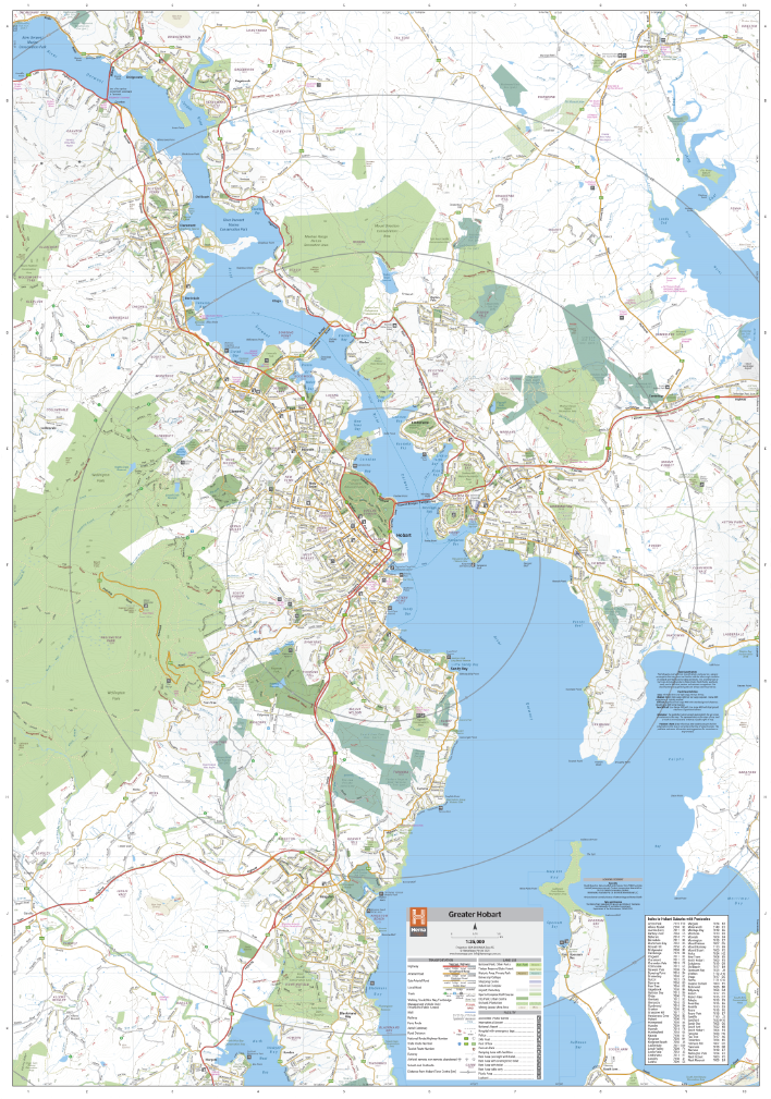
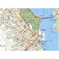
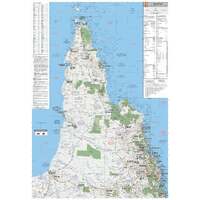
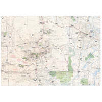
A comprehensive and detailed wall map of Hobart and its surrounds. The mapping features suburbs and postcodes, marked camping areas, caravan parks, fuel supplies, major national parks, and an index. The map covers from Bridgewater in the north to Blackmans Bay in the South, Mount Wellington in the west, and out to Hobart Airport in the east.
Available in two finishes and two sizes as follows:
Finish
- Laminated encapsulated - high quality produced by Hema Maps
- Photo paper; Satin 255gsm (unlaminated) - high quality produced by Hema Maps
Size
- Large Map (WxH) - 700 x 1000mm (scale:1:30,000)
- Super Map (WxH) - 1000 x 1430mm (scale: 1:24,500)
All maps are designed and printed in Australia.
Key Features
- Easy to use
- Key local sites including; Mt Wellington and MONA
- 24-hour fuel
- Accommodation
- Fully indexed
Key Specifications
Edition: 1st
Publication Date: 15/02/21
Want something different. We do custom maps. Email: info@hemamaps.com
(330781)
| SKU | 330781 |
| Brand | Hema Maps |
Be The First To Review This Product!
Help other Auto Parts Co PTY LTD users shop smarter by writing reviews for products you have purchased.

