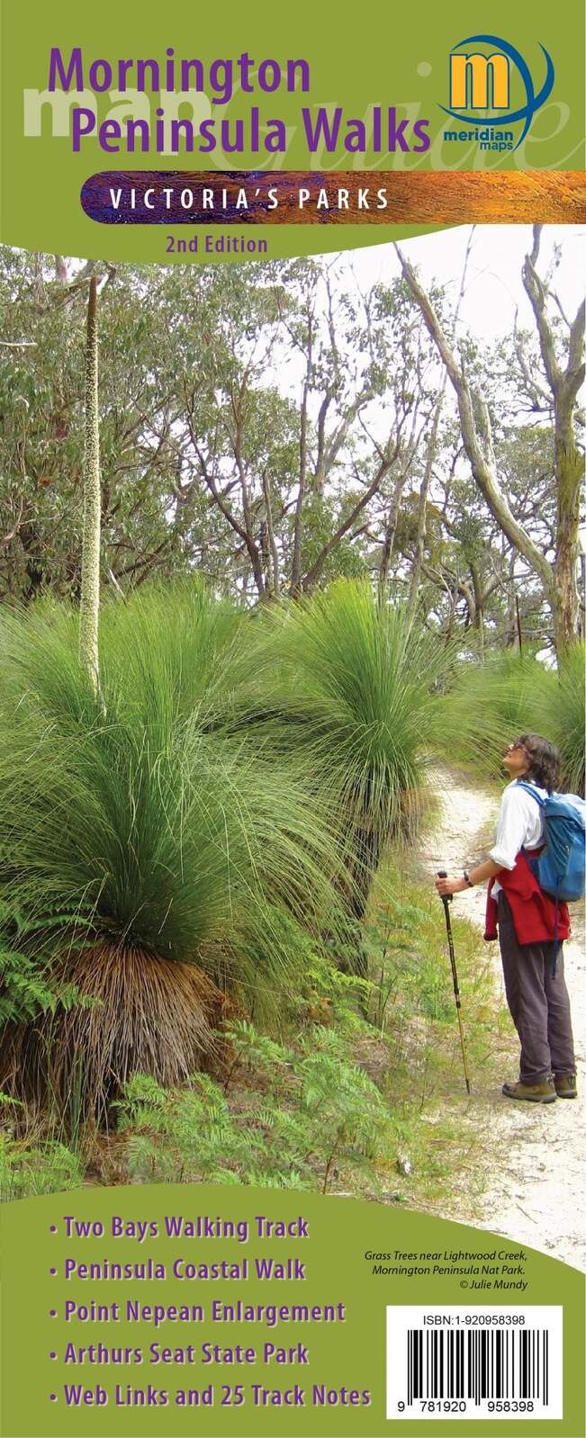


Mornington Peninsula Walks Map Guide
$10.95
In Stock
Double-sided multi-scaled map of Mornington Peninsula National Park, Point Nepean and Arthurs Seat State Park. Covers the entire Two-Bays Walking Track from Dromana to Cape Schanck and The Coastal Walk from Cape Schanck to Portsea.
Shows all tourist sites, wineries, picnic grounds and walking tracks, in and around the parks. 25 Walking Track notes in the parks and reserves, plus information on the coastal formations, history and development of parks compliments the map. Ideal for bushwalkers, day-trippers and holidaymakers.
Key Features
- 1:20,000 & 1:25,000 Scale Maps
- Field and track notes for 25 walking tracks
- Key tracks including; Two-Bays Walking Track and The Coastal Walk
- Mornington Peninsula National Park
- Point Nepean National Park
- Arthurs Seat State Park
- Historical and tourist information
Key Specifications
Edition: 2nd
Publication Date: 01/06/21
Scale: 1:25,000
Folded size (WxHxD): 100mm x 250mm x 3mm
Flat size (WxH): 594mm x 750mm
Weight: 0.06kgs
(9781920958398)
| SKU | 9781920958398 |
| Barcode # | 9781920958398 |
| Brand | Meridian Maps |