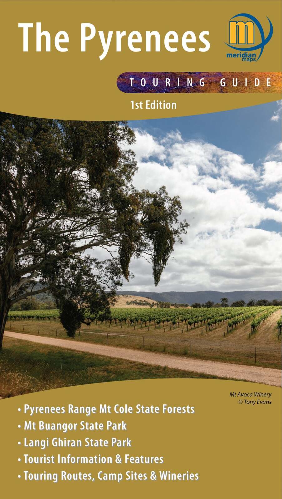


The Pyrenees Touring Map
$14.95
In Stock
Double-sided 1:50,000 scale map covering the entire Pyrenees region from Beaufort to Redbank and Navarre to Avoca. Ideal 4-wheel drive and touring map which highlights all the tourist activities and features of the region such the wineries, historic areas, picnic grounds and more. Includes the long distance trail Pyrenees Endurance Track, as well as the walks around Mt Buangor and Mt Cole. Includes pet-friendly campgrounds, accommodation, local produce, petrol stations, waterfalls and more tourist information.
Key Features
- 1:50,000 Scale Maps
- Latest vehicles track information
- Walking tracks and camping areas
- Suitable for use with GPS
- Features Mt Cole State Forest and Mount Buangor and Langi Ghiran State Parks
- Tourist information and features
Key Specifications
Edition: 1st edition
Publication Date: 1/08/21
Scale: 1:50,000
Folded size (WxHxD): 140mm x 250mm x 4mm
Flat size (WxH): 1000mm x 700mm
Weight: 0.09kgs
(9781920958428)
| SKU | 9781920958428 |
| Barcode # | 9781920958428 |
| Brand | Meridian Maps |